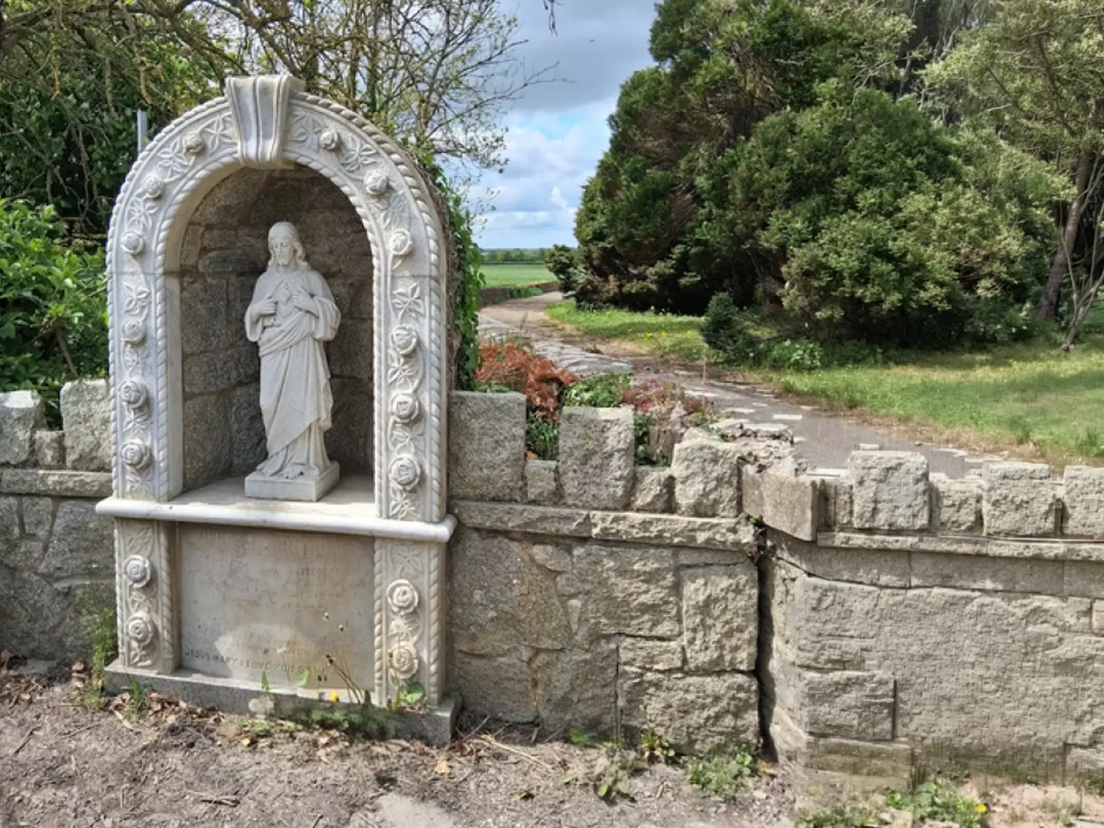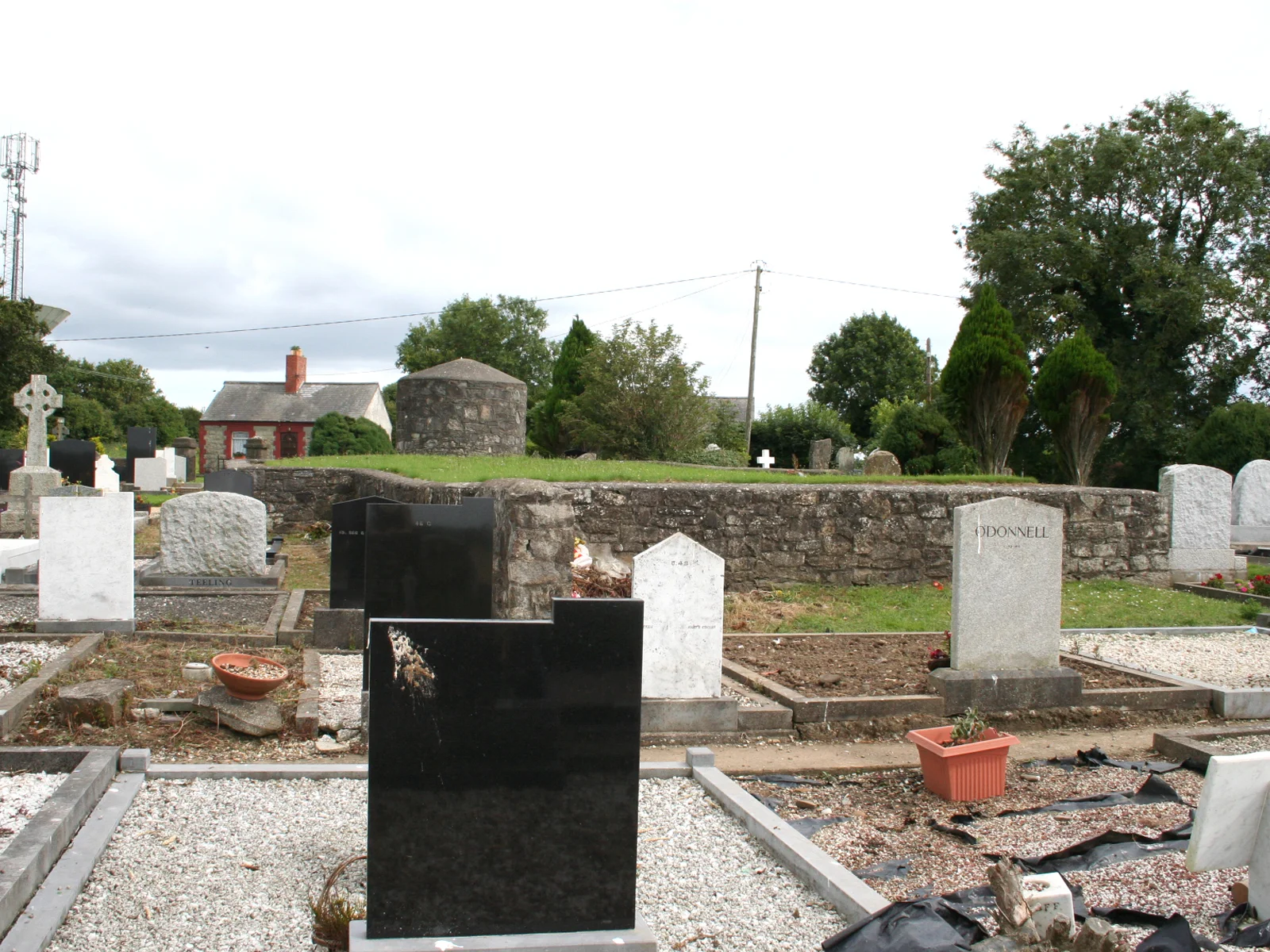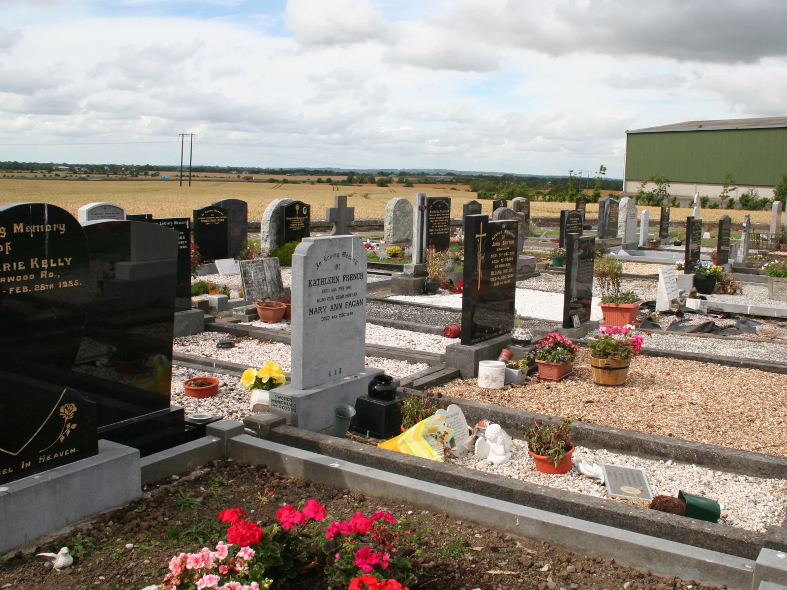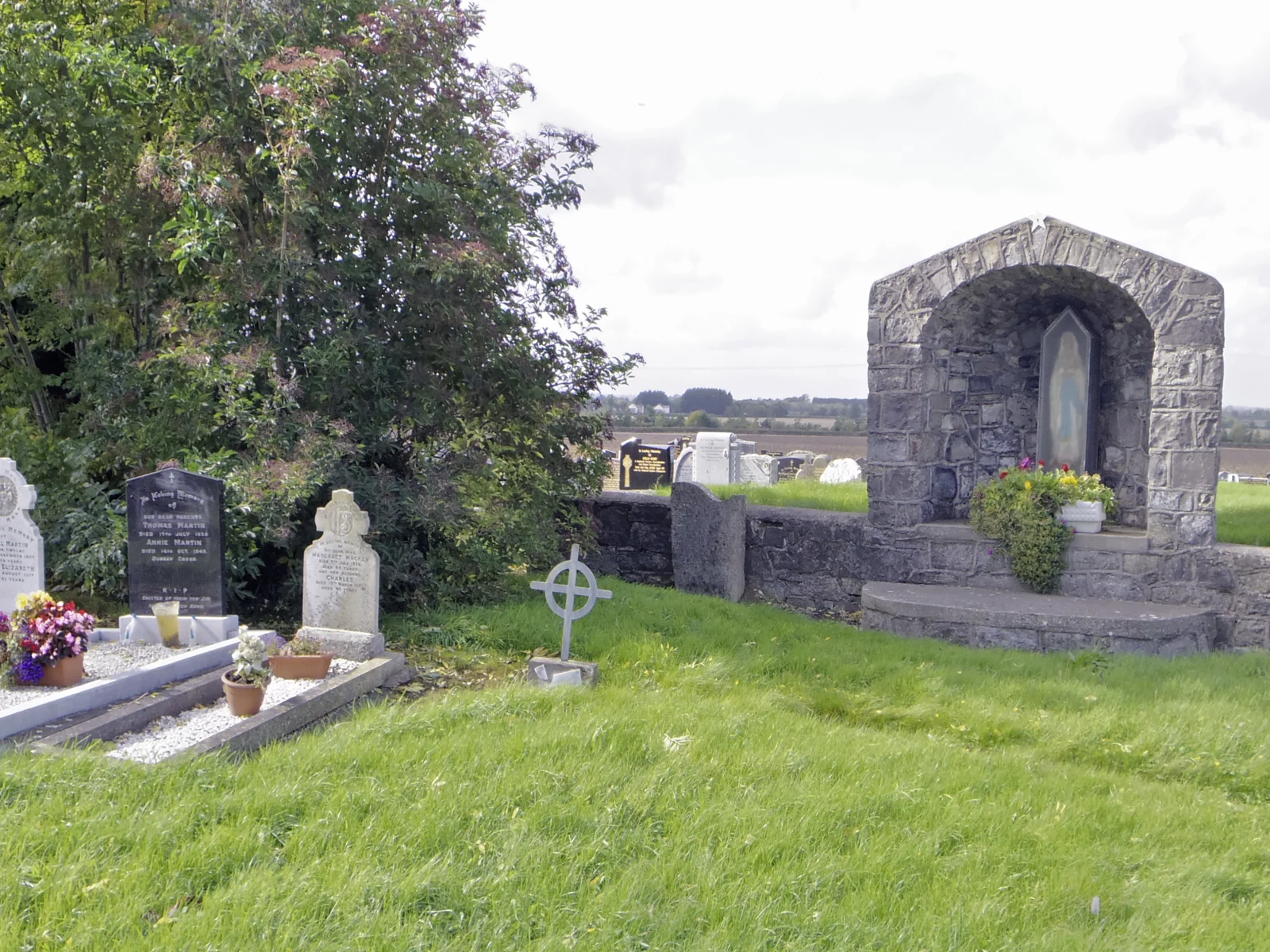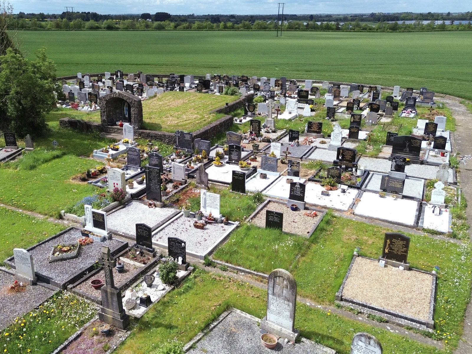
A limestone wall encloses the entire site. The site is higher than the surrounding land - possibly indicating use as a burial ground for a very long period of time. In the centre of the area are the foundations of an ancient church. Dr. Egan records the oldest headstone as dating from 1720.
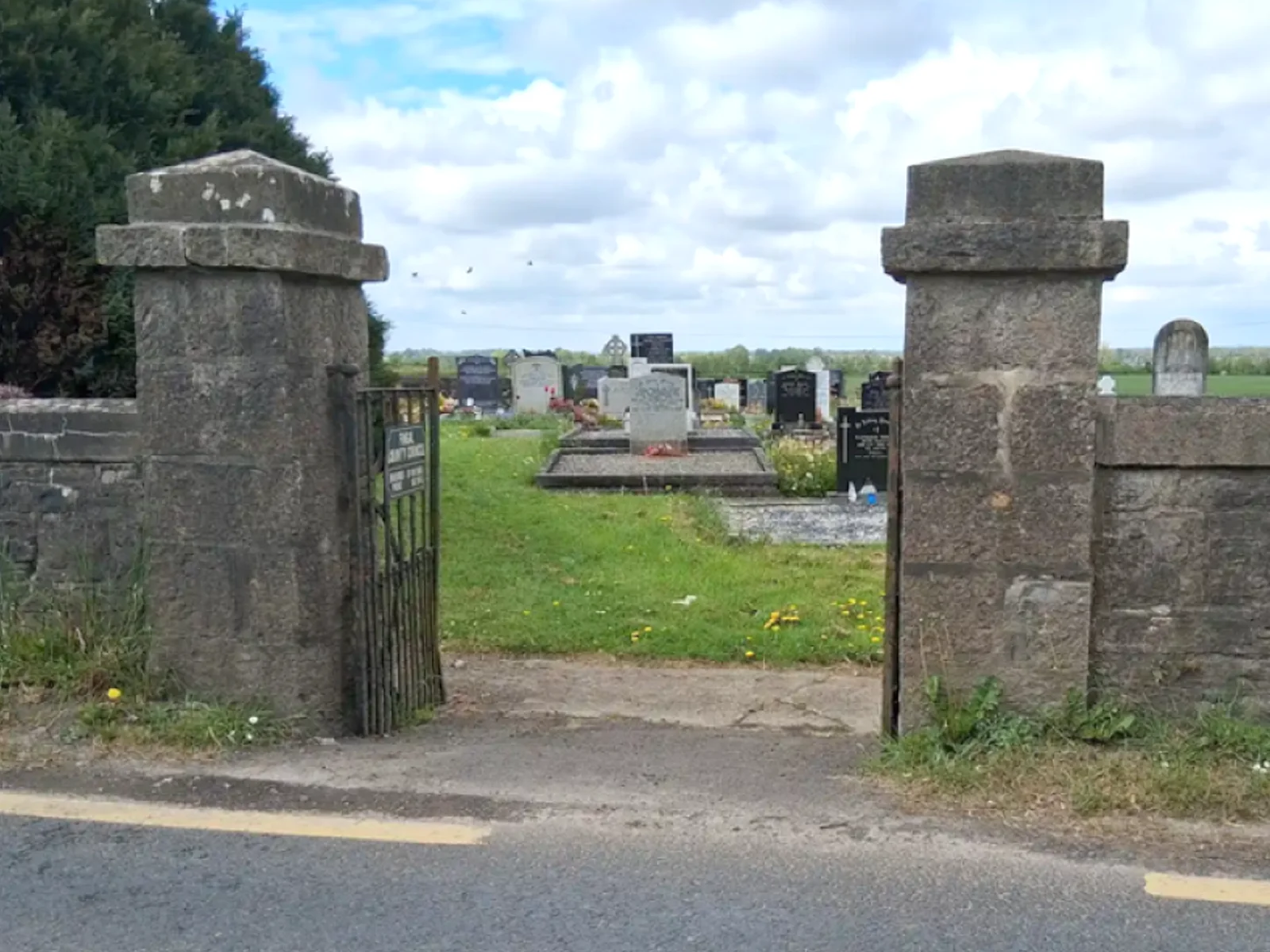
The graveyard is located 13km from Dublin at the side of the road which runs east from Mulhuddart just before it joins the road running north west out of Fingal towards Ashbourne.
Fingal County Council is responsible for this graveyard and its records.
Surveys: M. Egan Vol.4 p140-141. JAPMDI Vol. xiii p.7

Directions to The Ward
Tip: leave Start location blank to use your current location (browser permission required).